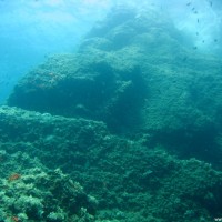
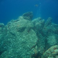
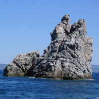
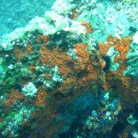
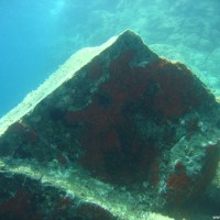
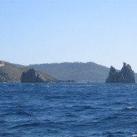
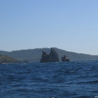
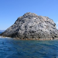
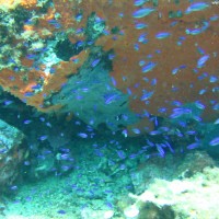
The "OK" rock northeast of Île de Porquerolles at Giens
Data & Description
Local dive center:
European Diving School
Weather:
Book recommendations:
 Dive Atlas of the World: An Illustrated Reference to the Best Sitesa
Description dive spot:
Very beautiful rock formation that can be circumnavigated. The rock is also called "OK" rock because it reminds of the "OK" sign on the surface. It is easily divable and has many beautifully overgrown steep walls, but atypical with only a few gorgonians. The rock formation is quite abstract and therefore good for orientation. Big fish are not visible, but for that a lot of colorful juveniles and octopuses. Also there are snails to see. There are barbels in the warm water.
Contributed by:
Martin Sebald, Alexander Schönleber
Last content update:
2007/02/20
Gallery
a Amazon affiliate link: If you order we get a very little commision. Important: The price on Amazon does not change for you! It is just a bonus which we receive for the recommendation.
